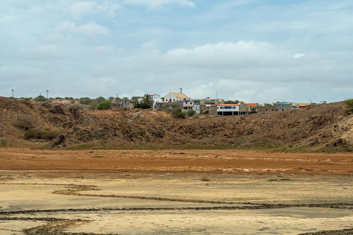
Maio is the easternmost of the Sotavento islands (“under the wind”) of Cape Verde and besides Sal the oldest island of the archipelago. Its 269 km² are quite flat except for some old volcanic mountains in the interior of which Monte Penoso (436 m) is the highest. The island is dry, barren, hostile, and the visitor gets to see only very few green apart from all the beige and grey of the sand, the grass, the rocks. The capital is Cidade do Maio, or Porto Ingles, on the southwest coast, but the locals refer to it still as Vila do Maio, because it is not for long that it has been granted the status of a Cidade, a city, and for sure, it is not much more than a village, if it wasn´t for the splendid architecture. Most of the approximately 8.000 inhabitants live in capital.
Maio ist die östlichste der Sotavento-Inseln, der „Inseln unter dem Wind“, der Kapverden und neben Sal die älteste des Archipels. Die 269 km² Fläche sind ziemlich flach, abgesehen von einigen alten Vulkanen im Inneren, von den der Monte Penoso mit 436 m der höchste ist. Die Insel ist trocken, karg, lebensfeindlich, und der Besucher bekommt nur wenig Grün zu sehen neben all dem Beige und Grau des Sands, des Grases und der Felsen. Die Hauptstadt ist Cidade do Maio, oder Porto Ingles, an der Südwestküste, aber die Einheimischen sagen immer noch Vila do Maio, da es noch nicht lange her ist, dass ihr der Titel Cidade (Stadt) verliehen wurde, und tatsächlich handelt es sich auch eher um ein Dorf, wenn da nicht die herrliche Kolonialarchitektur wäre. Die meisten der etwa 8.000 Einwohner der Insel leben in der Stadt.

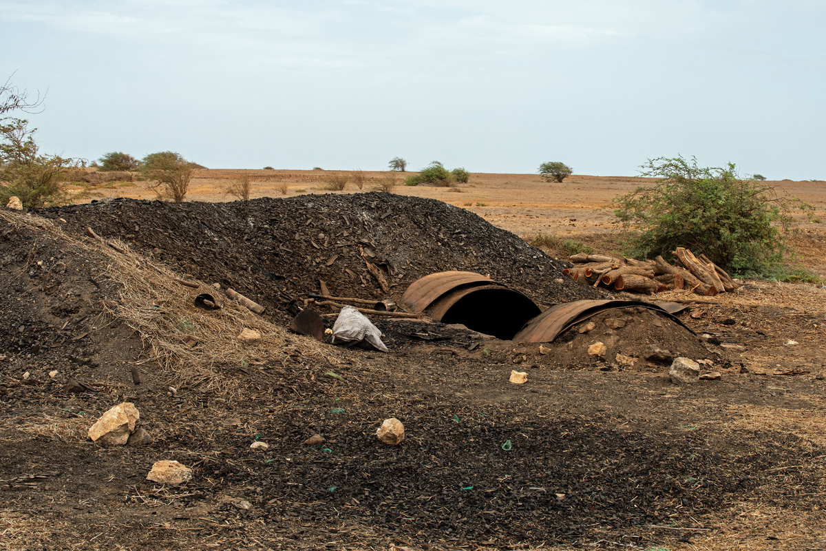
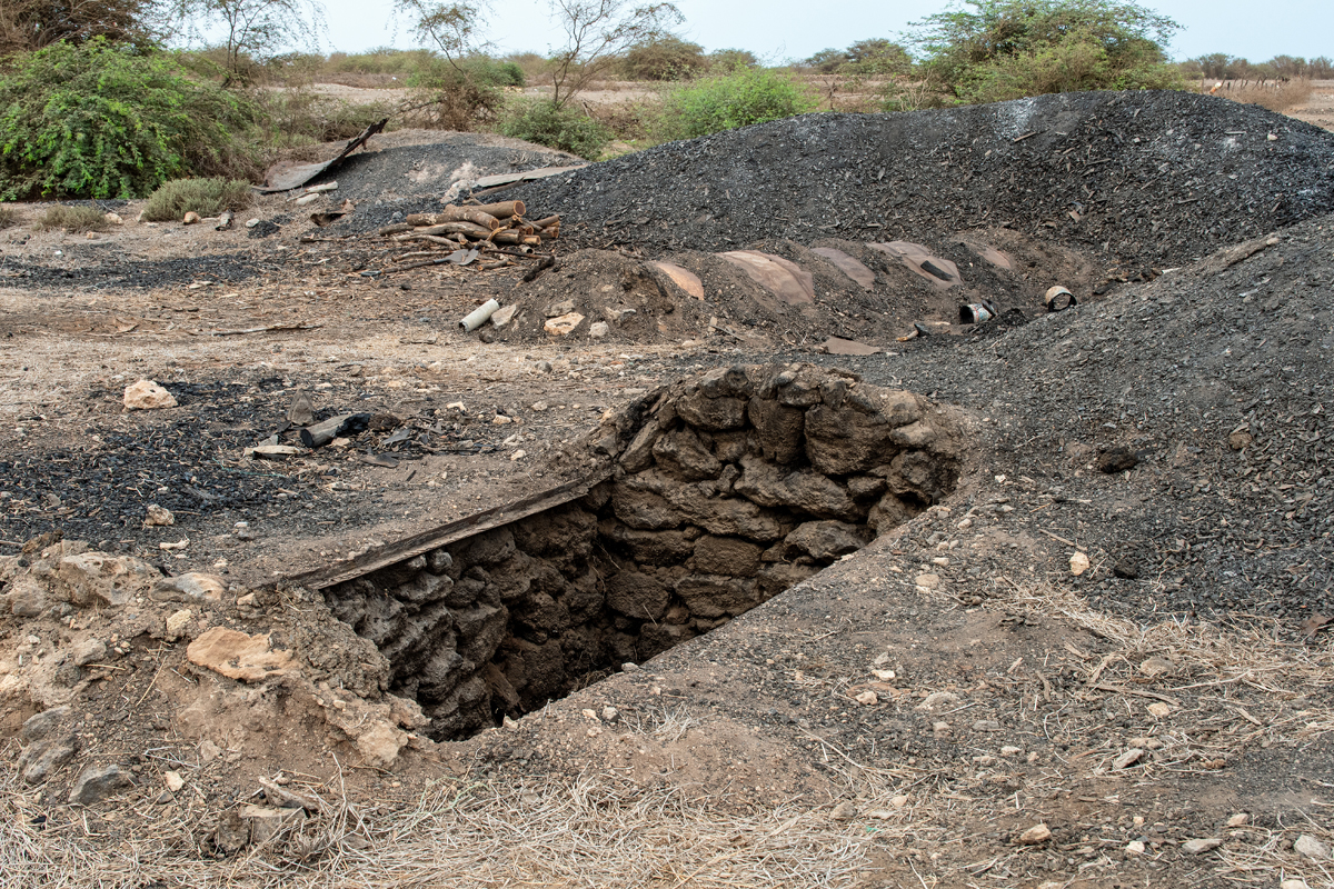
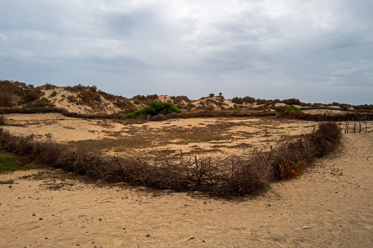
A circular road around the island connects all the villages, starting at Porto Ingles and going up on the west coast to the north to the small village of Morrinho on the edge of Cape Verdes largest forested area. It is a commercial forest used by a cooperative to sustainably produce charcoal which is also exported to the other islands.
Eine Ringstraße um die Insel verbindet alle Dörfer miteinander. Startpunkt ist Porto Ingles, von wo aus es entlang der Westküste Richtung Norden bis zu dem kleinen Dorf Morrinho am Rande des größten zusammenhängenden Waldgebiets auf den Kapverden geht. Es handelt sich um Wirtschaftswald, der von einer Kooperative zur Herstellung von nachhaltig produzierter Holzkohle genutzt wird, die man auch auf die andern Inseln exportiert.
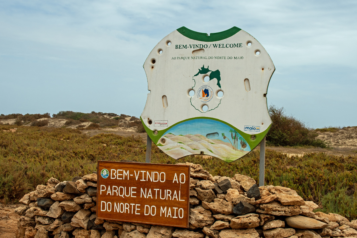
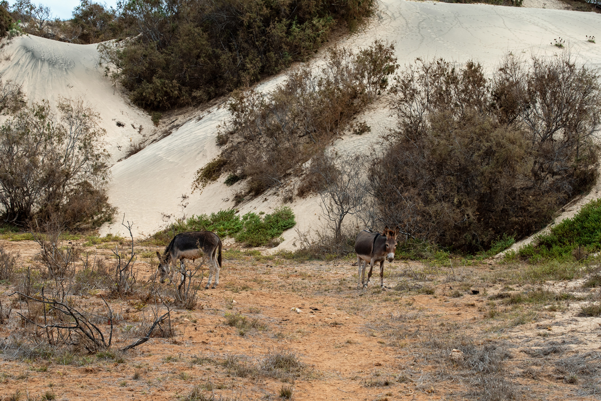
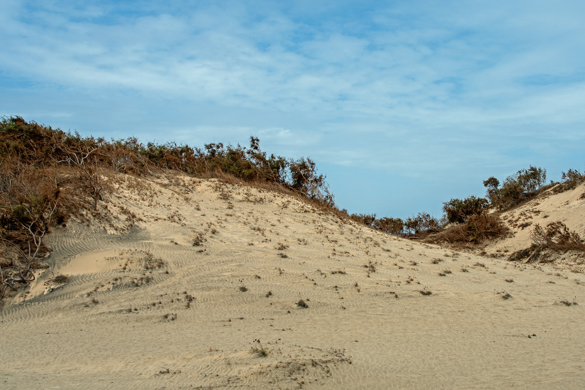
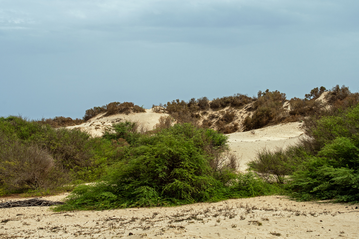
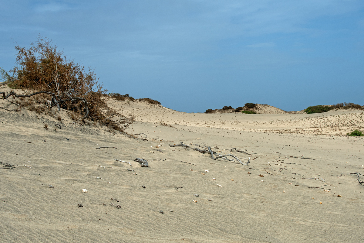
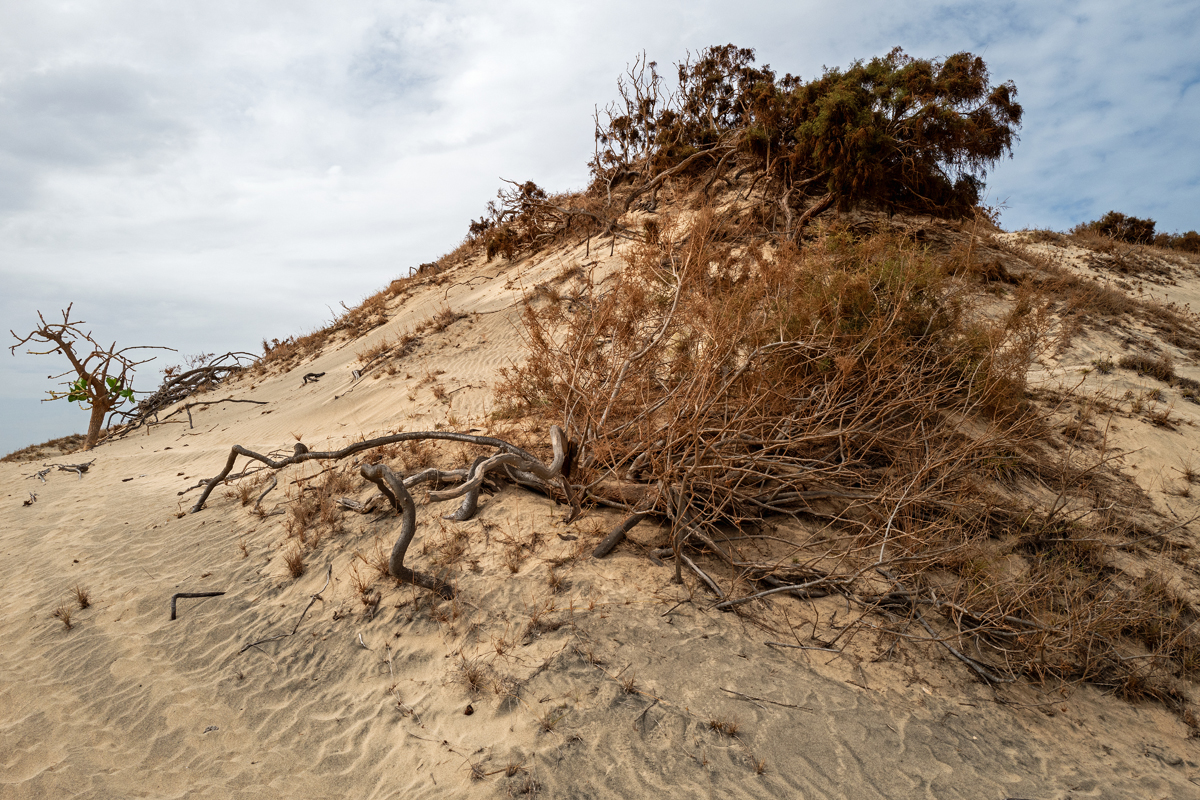
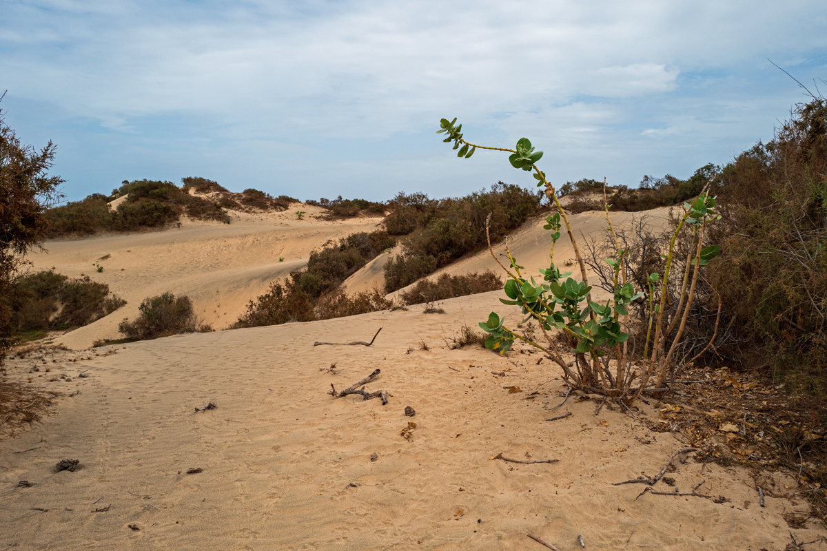
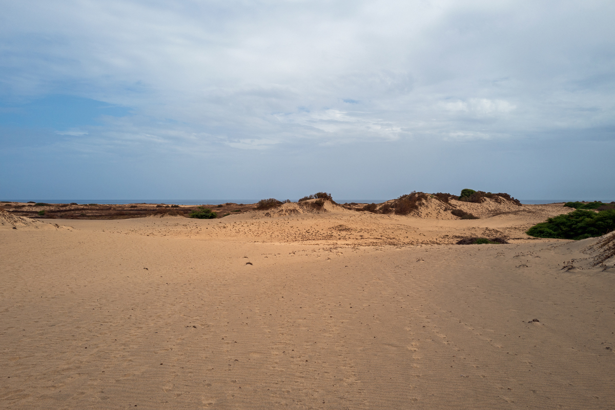

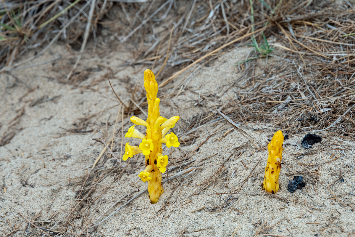
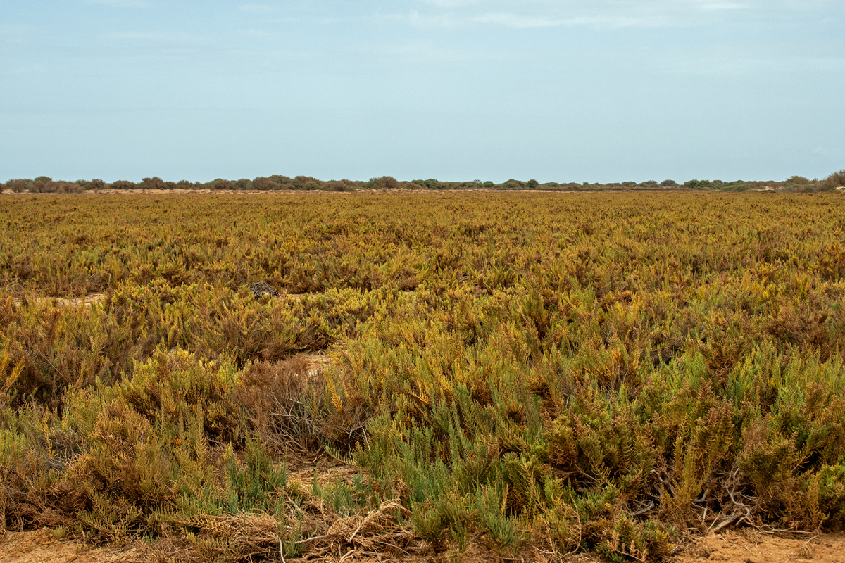
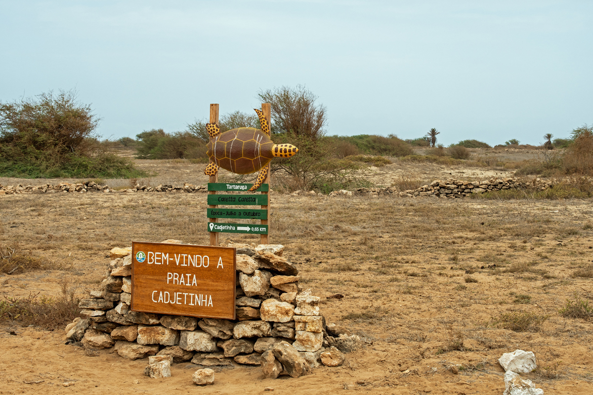
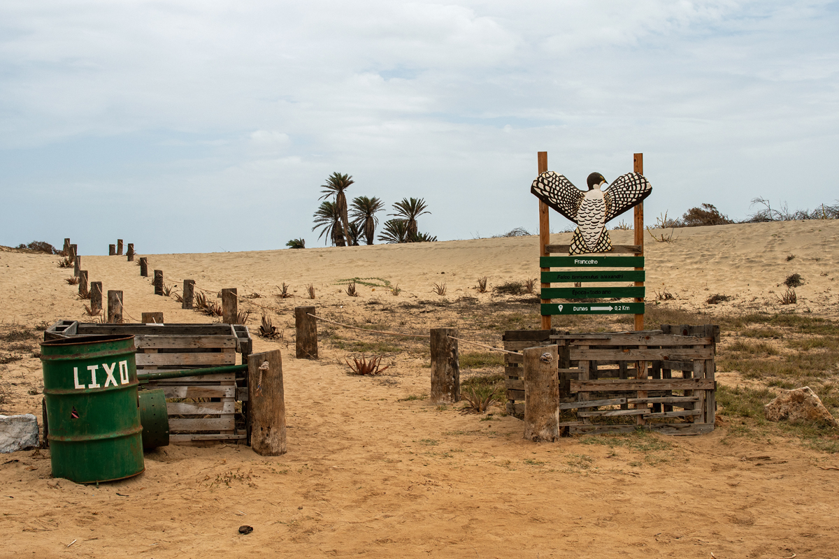
Just north of Morrinho, the northern tip of the island is protected as Parque Natural Do Norte Da Ilha Do Maio. In its southerly part near Morrinho, one gets to see the Dunas do Morrinho, huge dunes created by strong winds bringing a vast amount of sand from the Sahara Desert. The dunes stretch out over three kilometres in length and around 500 metres in width and stand up to 15 metres high, flanked by Terras Salgadas, the country’s largest ecosystem of salt marshes. On the beaches, loggerhead turtles are laying their eggs, and there are different species of coral and fish in the sea.
Nördlich von Morrinho beginnt der Parque Natural Do Norte Da Ilha Do Maio, in dem die gesamte Nordspitze der Insel geschützt wird. Im südlichen Teil des Parks, nahe Morrinho, liegen die Dunas do Morrinho, große Dünen, die vom konstant starken Wind geformt werden, der große Mengen Sand aus der Sahara über das Meer trägt. Das Dünengebiet ist drei Kilometer lang, 500 Meter breit, bis zu 15 Meter hoch und wird flankiert von Terras Salgadas, dem größten salinen Marschland-Ökosystem auf den Kapverden. An den Stränden legen Unechte Karettschildkröten ihre Eier, und im Wasser gibt es verschiedene Korallenarten und zahllose Fische.
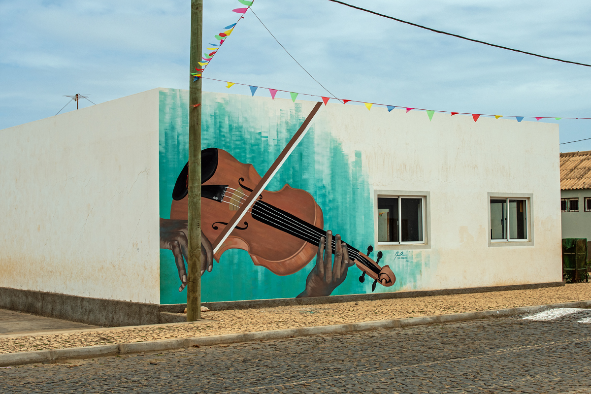

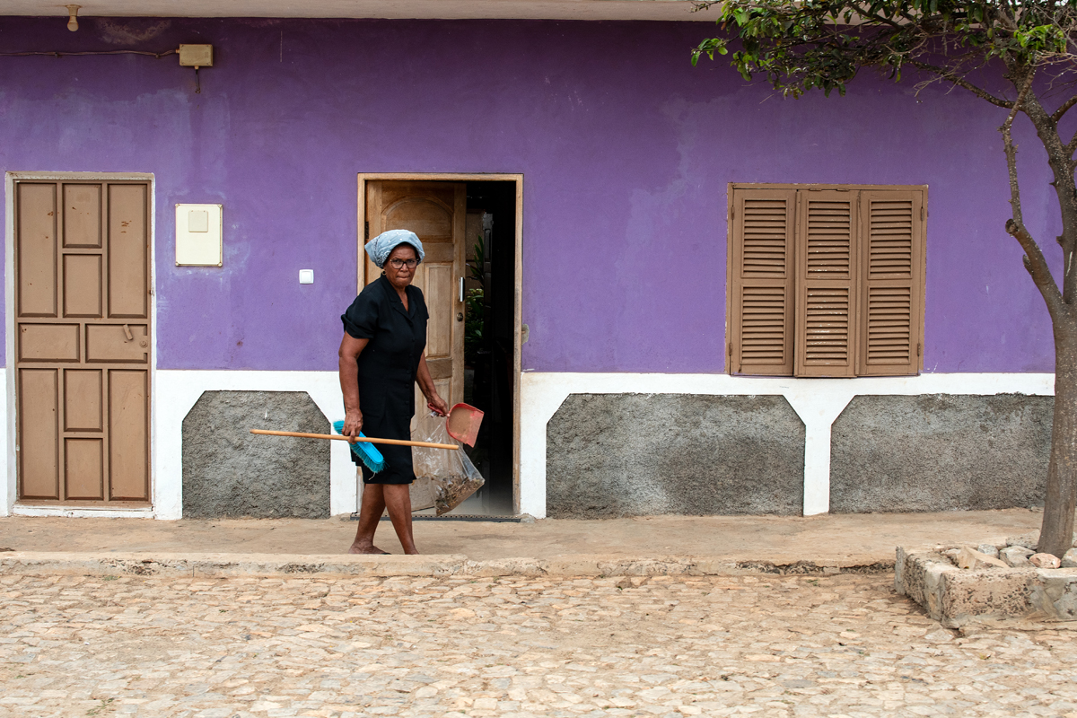
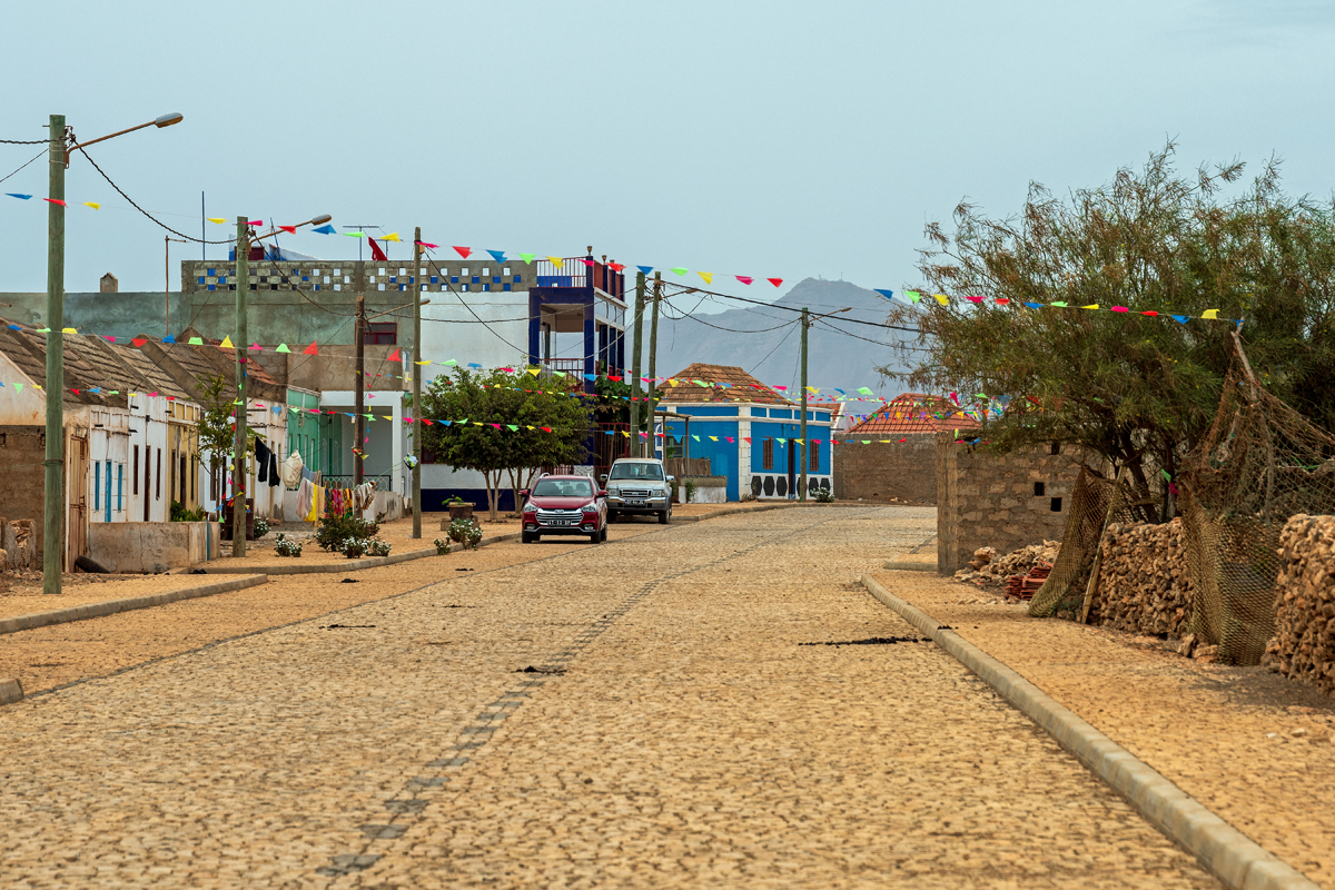
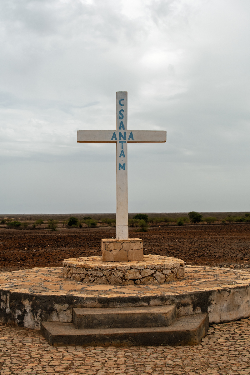
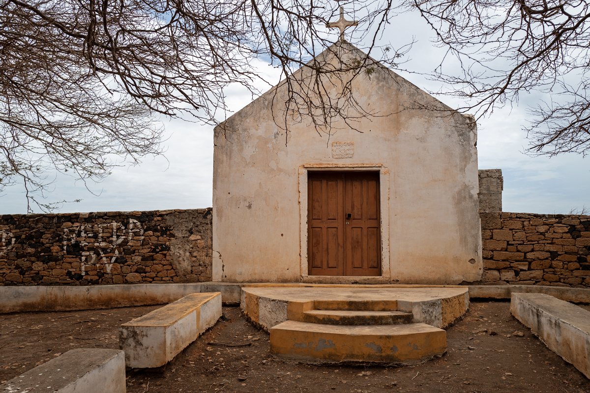
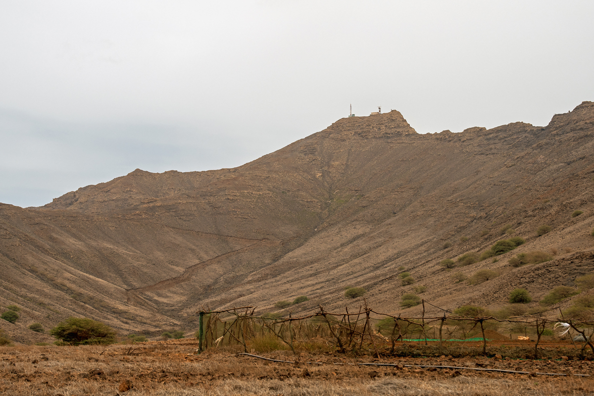
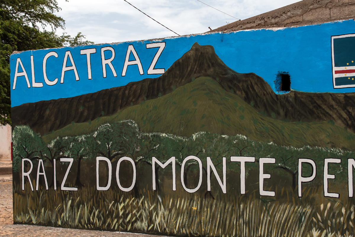
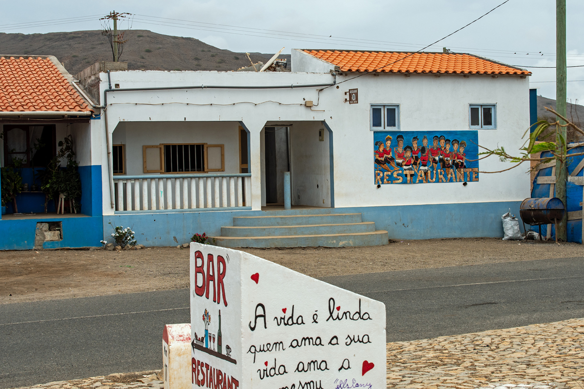
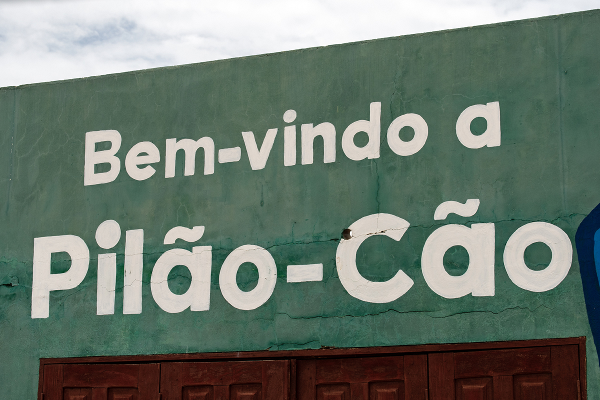
The villages, Cascabulho in the centre of the north as well as Pedro Vaz, Alcatraz and Pilão Cão near the east coast, consist of neatly lined up and colourfully painted houses with beautiful murals making a bright contrast to the monotonous landscape surrounding them. Only Monte Penoso south of Alcatraz as well as Monte Batalha east of Calheta at the west coast provide for a more scenic interior than on Sal. At the foot of Monte Penoso, the island´s oldest church Capela de Nossa Senhora do Rosário is a remote reminder of the place where the first settlement once had been built.
Die Dörfer, Cascabulho im zentralen Norden der Insel genauso wie Pedro Vaz, Alcatraz und Pilão Cão an der Ostküste, bestehen aus sauber aufgereihten und bunt gestrichenen Häusern mit farbenfrohen Wandgemälden, was ein schöner Gegensatz zur eintönigen Landschaft ist, die die Dörfer umgibt. Nur der Monte Penoso südlich von Alcatraz und der Monte Batalha nahe der Westküste bieten etwas mehr landschaftliche Abwechslung im Insel-Inneren als auf Sal. Am Fuß des Monte Penoso steht die älteste Kirche der Insel, Capela de Nossa Senhora do Rosário, eine ferne Erinnerung an den Ort, an dem einst auch die erste Siedlung auf Maio entstanden war.


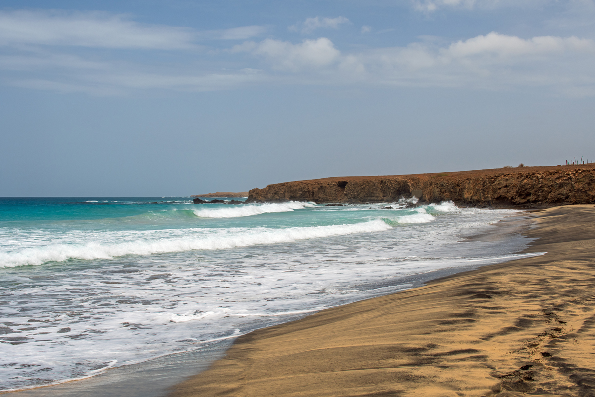
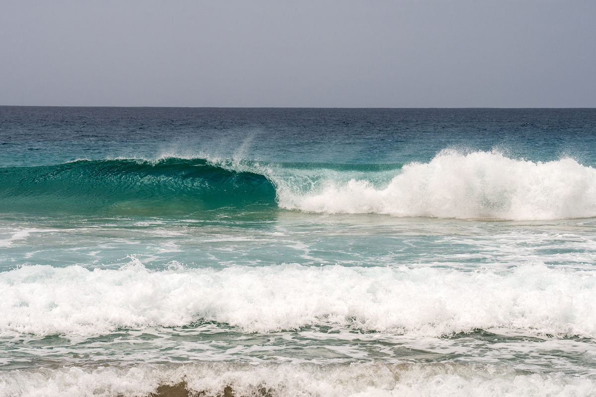
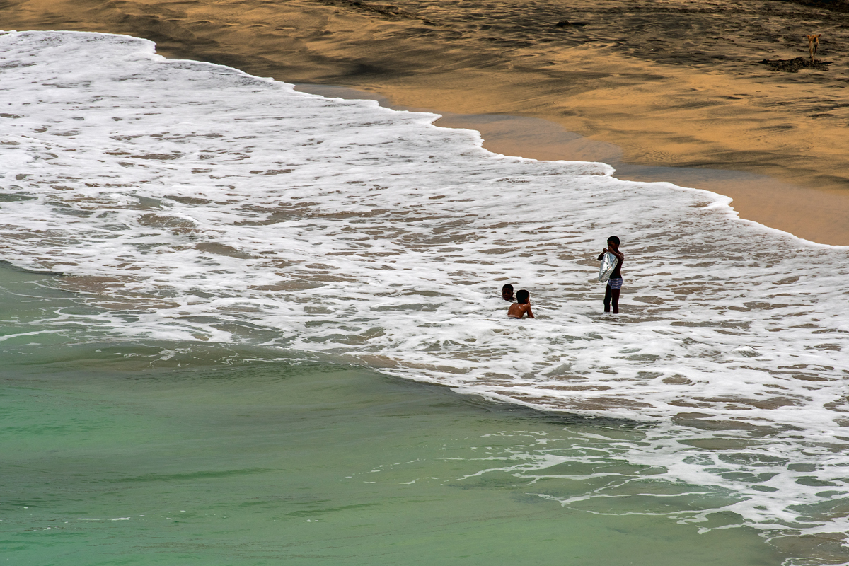
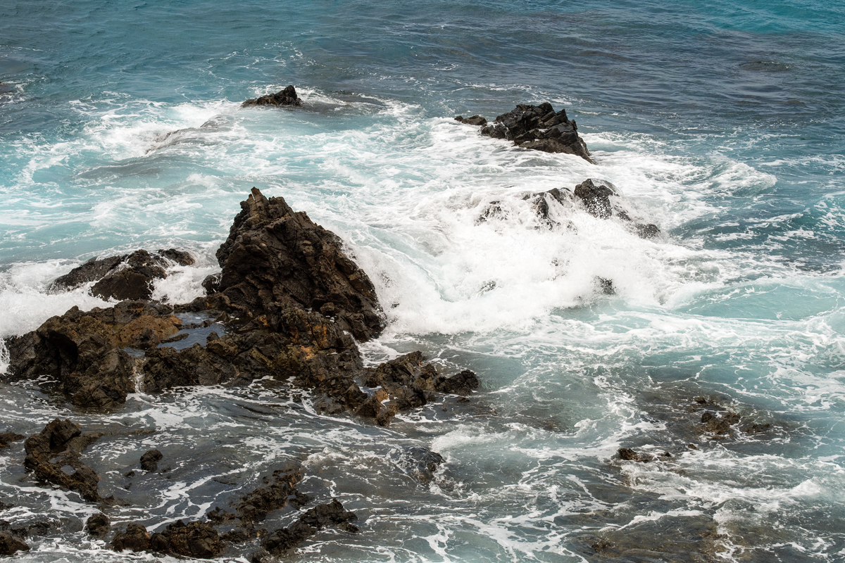
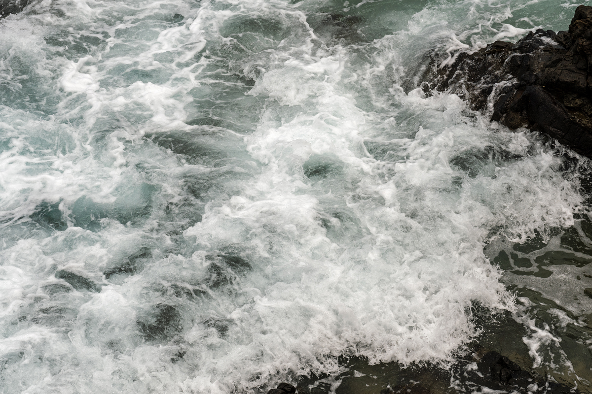
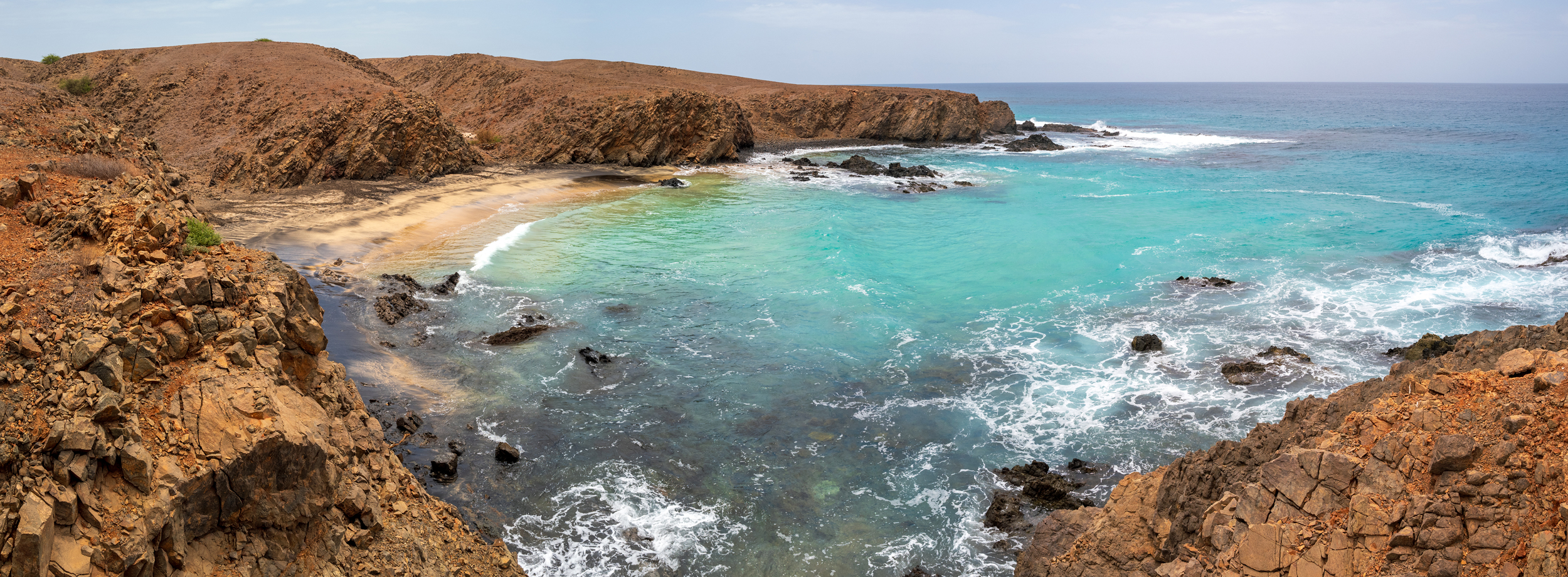
You can find beautiful, empty beaches everywhere along Maio´s shoreline, but swimming isn´t always safe. One outstanding beach is Praia de São João near the eponymous village in the southeast, where white sand mixes with black in crazy psychedelic patterns. There are actually at least four different bays with equally spectacular beaches, rimmed by rugged cliffs and hammered by, at times, brutal waves. And in the right season, you can even see the tracks of turtles in the sand.
Traumhafte und stets leere Strände gibt es überall entlang Maios Küste, aber das Schwimmen ist aufgrund von Strömungen nicht immer unproblematisch. Eine besonders schöne Bucht ist Praia de São João nahe des gleichnamigen Dorfes im Südosten, wo sich schwarzer und weißer Sand mit verrückten psychedelischen Mustern vermengen. Eigentlich sind es sogar vier Buchten mit gleichermaßen schönen Stränden, eingerahmt von schroffen Klippen und von zum Teil brutalen Wellen gepeitscht. Und zur richtigen Zeit kann man sogar die Spuren der Schildkröten im Sand entdecken.