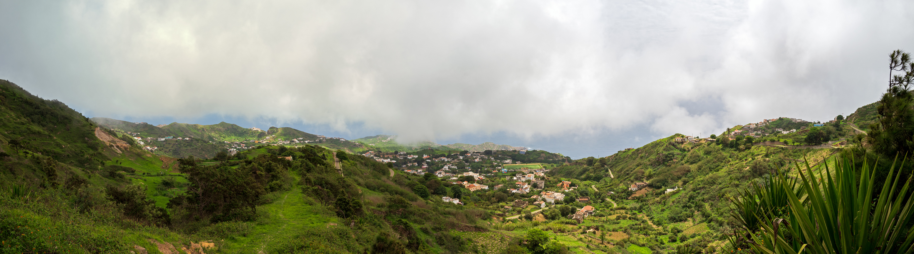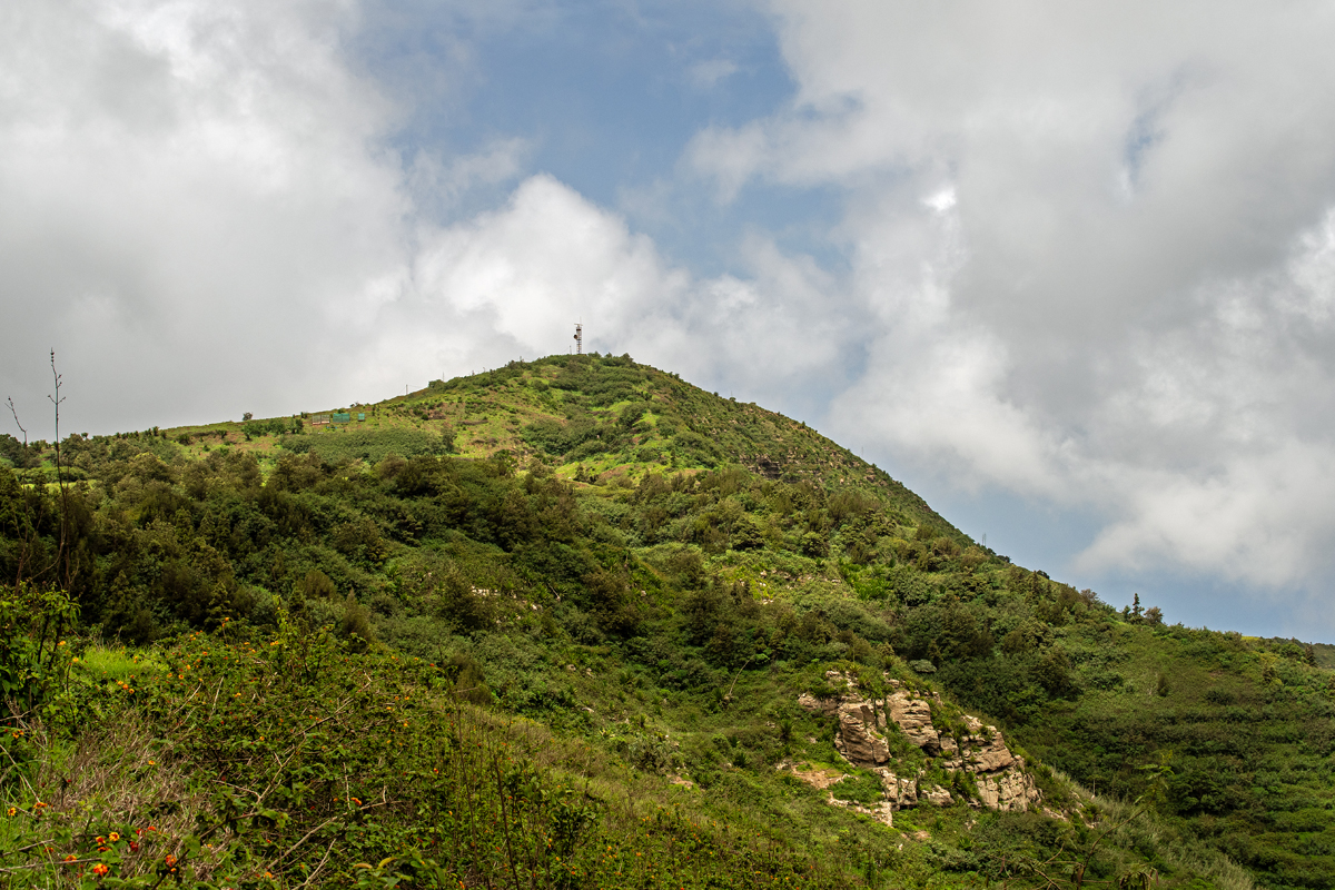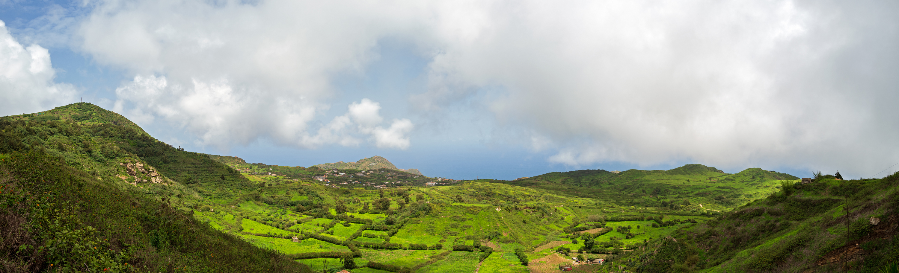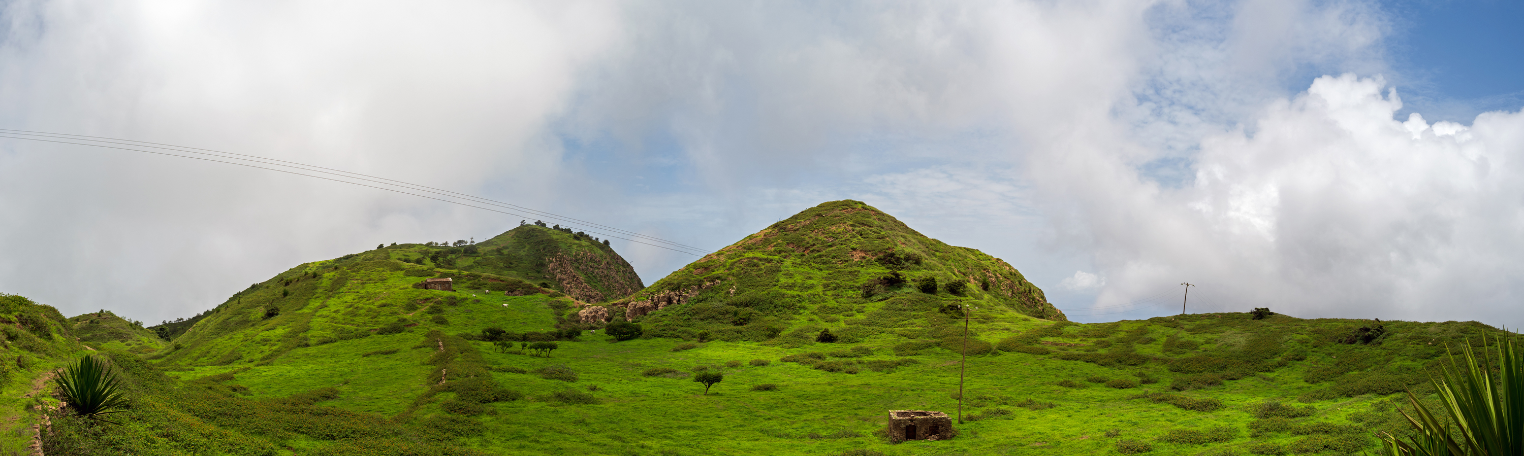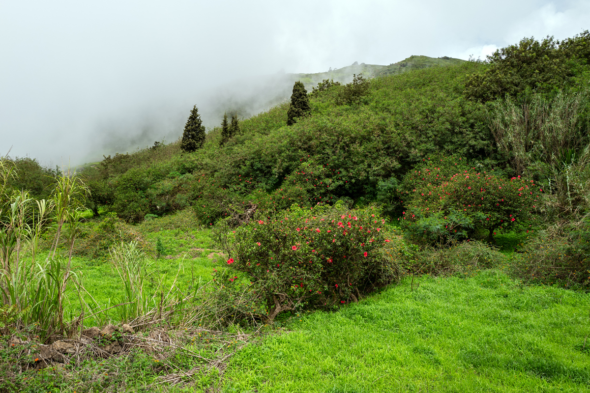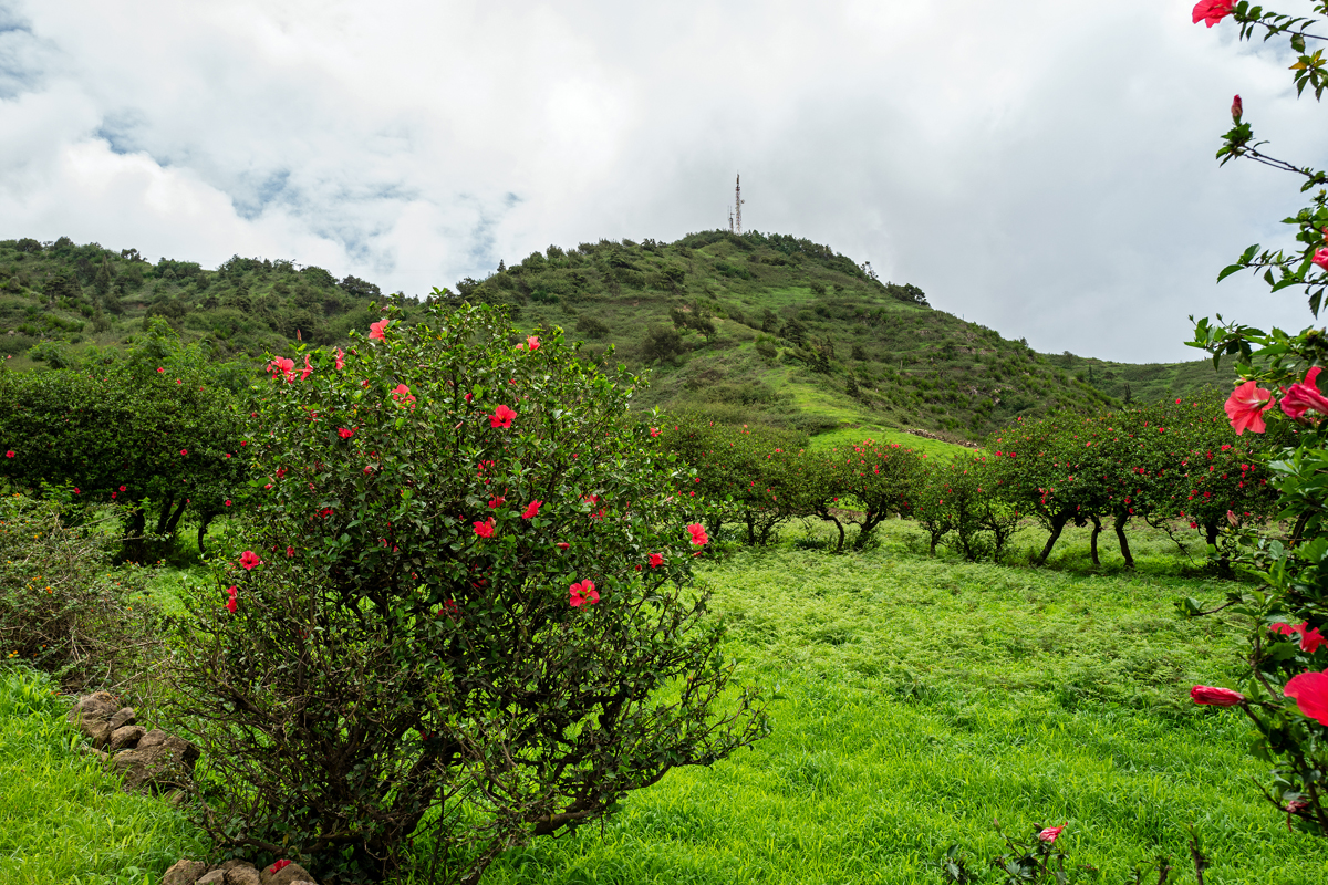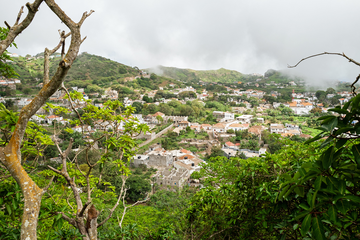
With only 64 km2,Brava is the smallest of the nine inhabited islands of the archipelago, an underwater stratovolcano that had been lifted to the surface over the course of thousands and thousands of years. There is no volcanic activity anymore, but clusters of minor earthquakes occur from time to time, a proof that there is still life underneath the island. Brava arises from the Atlantic Ocean with steep cliffs, there are no beaches, and only very few bays suitable to land a ship. The highland is at an altitude between 400 m and 600 m, and the highest peak is Fontainhas with 976 m, what makes the climate a bit cooler than down at the coast or on the other islands. Because of being located at the lee side of gigantic Fogo, Brava happens to catch more clouds with its mountainous interior, which makes it a lot greener and its agriculture potentially more productive than on the other Sotavento islands.
Mit nur etwa 64 km2 Fläche ist Brava die kleinste der neun bewohnten Inseln des Archipels, ein einziger Stratovulkan, der ursprünglich am Meeresgrund gelegen hatte und im Verlauf von Jahrtausenden über die Meeresoberfläche gehoben worden war. Es hat schon sehr lange keine vulkanischen Aktivitäten mehr gegeben, aber Serien von schwachen Erdbeben erschüttern die Insel von Zeit zu Zeit, was deutlich macht, dass unter der Insel immer noch Leben herrscht. Brava erhebt sich mit steilen Klippen aus dem Atlantik, es gibt keine Strände und nur wenige Buchten, die geeignet sind, um ein Boot anzulanden. Das Hochland liegt auf Höhen zwischen 400 m und 600 m, und die höchste Erhebung ist mit 476 m der Fontainhas, was das Klima etwas kühler macht als unten an der Küste oder auf den anderen Inseln. Weil die Insel auf der Lee-Seite des riesigen Fogo liegt, bleiben mehr Wolken an den Bergrücken hängen, was Brava viel grüner und die Landwirtschaft potenziell produktiver macht als auf den restlichen Sotavento-Inseln.


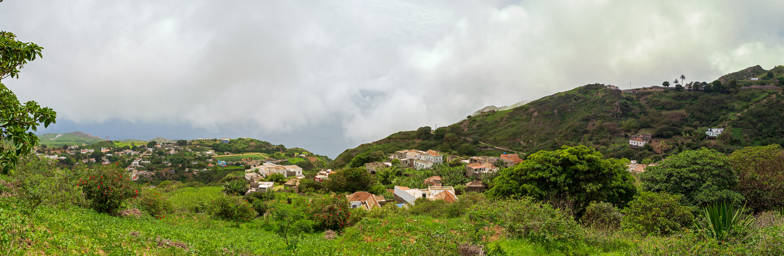
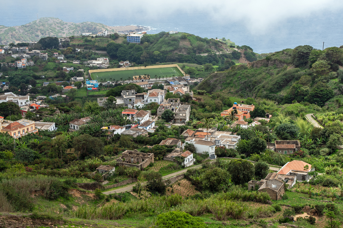
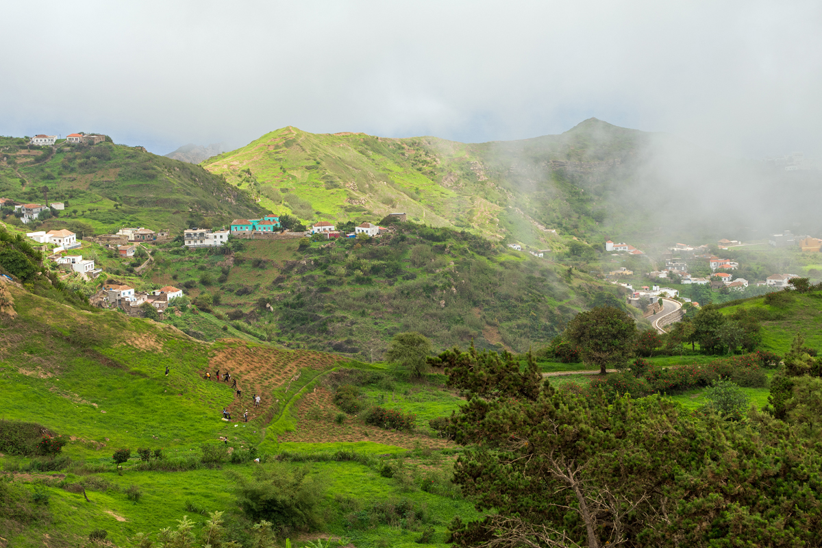

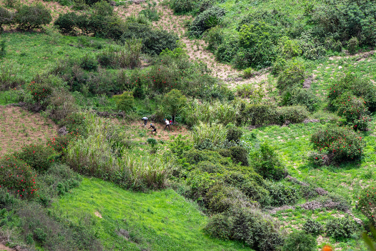
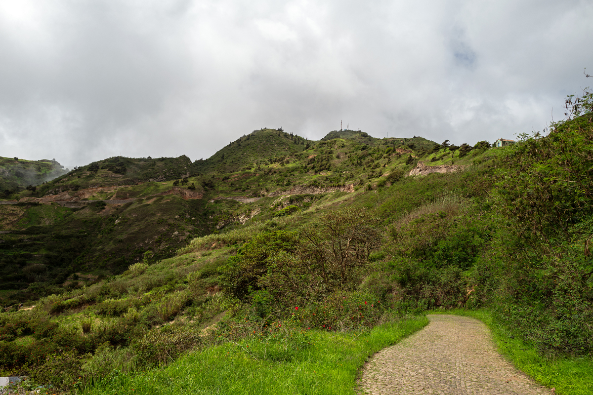
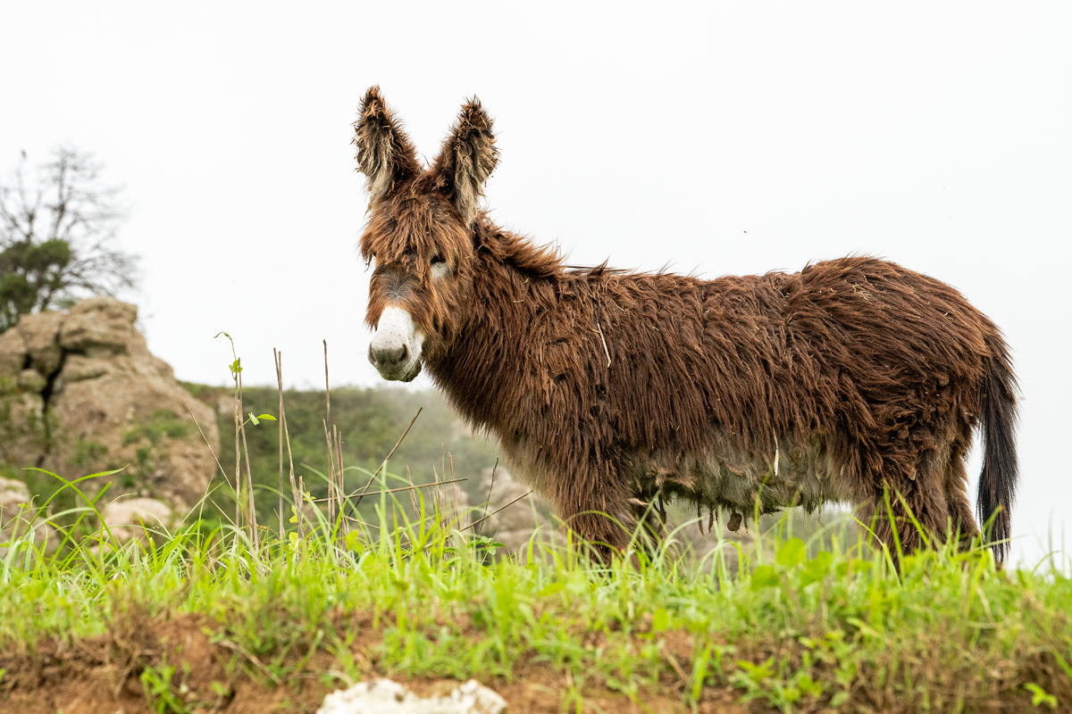
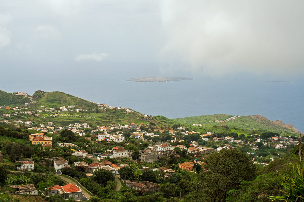
Nova Sintra and Furna are in the north, from where a road leads southwards along the edge of the highland, interconnecting the two places with Nossa Senhora do Monte in the west as well as Cachaço in the south. Another cobbled road leads down to Faja d´Agua at the west coast, the second port besides Furna and the place of the former airport of Brava. In between lies a lush green landscape with steep gorges leading to the coast and picturesque hills, but apart from growing some maize, beans, bananas and papayas on a low scale, those fertile hills belong only to a few cows, goats and donkeys – and the very rare tourist hikers who have taken the burden of making the way to remote Brava.
Nova Sintra und Furna liegen im Norden, von wo eine Straße am Rande des Hochlands entlang Richtung Süden führt und die beiden Orte mit Nossa Senhora do Monte im Westen sowie Cachaço im Süden verbindet. Eine weitere gepflasterte Straße führt hinab nach Faja d´Agua an der Westküste, neben Furna der zweite Hafen der Insel, in dessen Nähe der einstige Flughafen liegt. Zwischen den Ortschaften erstreckt sich eine üppige grüne Landschaft mit tiefen Schluchten, die zur Küste führen, und pittoresken Hügeln, doch einmal abgesehen von wenigen Feldern und Gärten, wo Mais, Bohnen, Bananen und Papayas angebaut werden, gehören die fruchtbaren Hügel exklusiv den wenigen Kühen, Ziegen und Eseln – und den sehr seltenen touristischen Wanderern, die es auf sich genommen haben, den ganzen Weg bis nach Brava zu reisen.